Solutions About us Nautical & Nature Research Centre Institutions Italiano عربي Contact
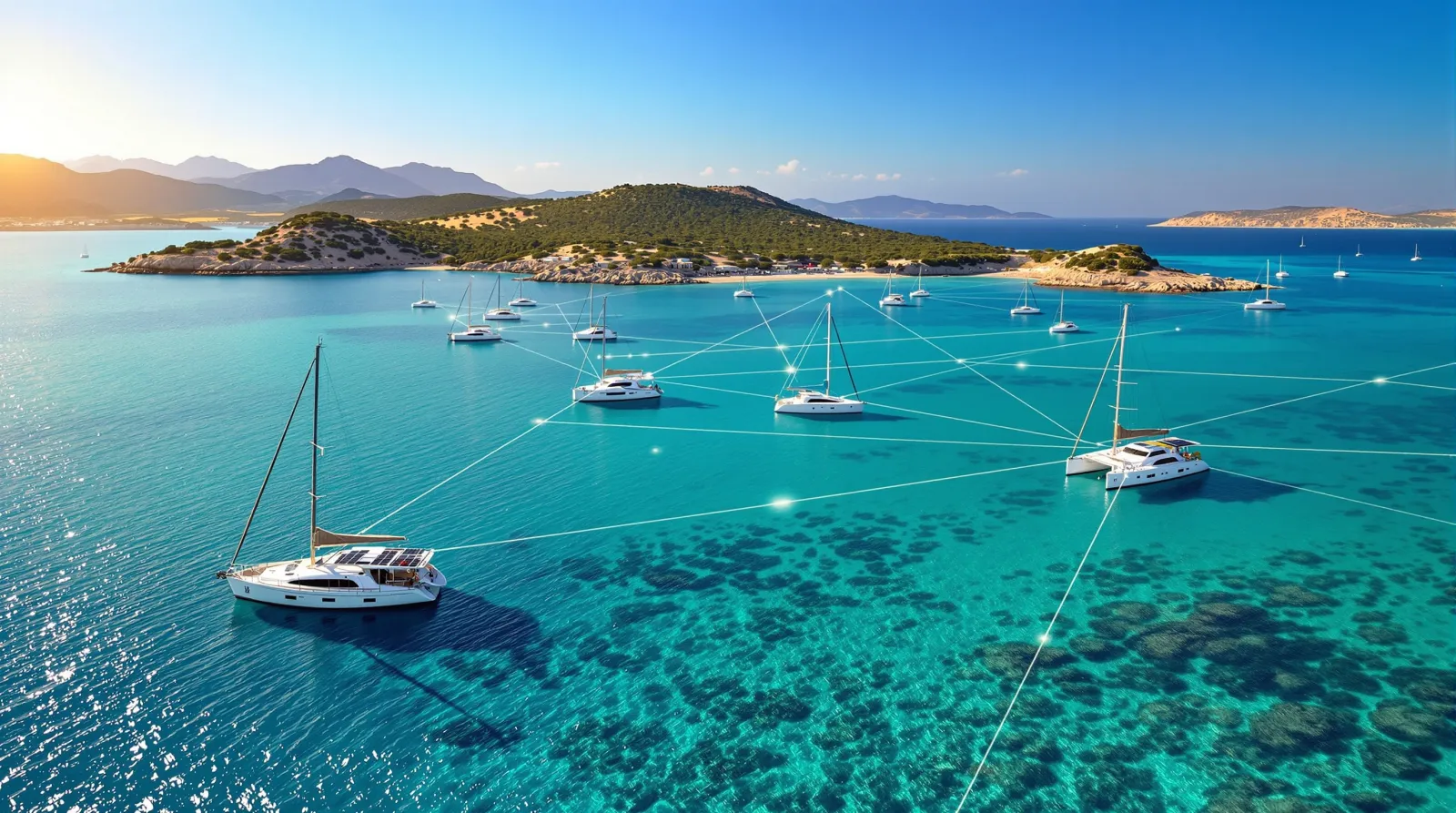
Turquoise bay with anchored boats connected by a digital network: glowing Seainnova buoys bring services out at sea
Blue IoT · Digital infrastructure for the sea

We bring digital services
where today there is only water.

Digital infrastructure for the coast: a network of smart buoys connected to a NaviGoo24 network. Safety, data and connectivity across the Mediterranean.

Request a presentation
Scroll
5Families of smart buoys
24/7Operational coverage
100%Solar powered
2023Founded

The problem

Water is Europe’s last space without digital infrastructure.

Europe has wired every kilometre of land. But as soon as you cross the shoreline, the signal disappears, the data stops, the services end. Seainnova was founded to close this gap.

1,850Kilometres of coastlinein Sardinia alone
45,000Boatsevery summer
0Digital infrastructureson the water, today

What we do

Five families of buoys.
One single ecosystem.

01 — IRescYou · Rescue at sea

Every second
counts. At sea.

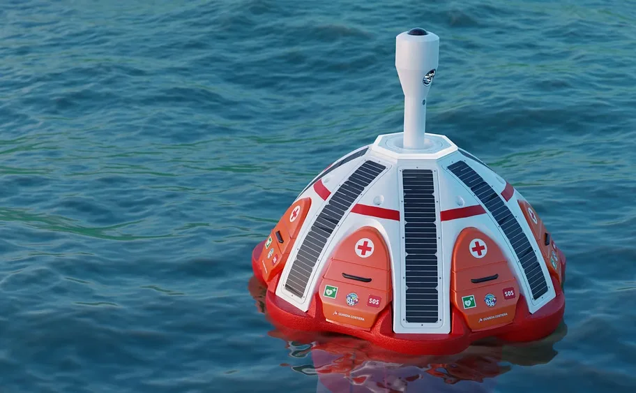
IRescYou is Seainnova’s patented rescue system: a hub buoy with an SOS button that sends the alarm with GPS position on two levels — official rescue authorities and certified rescuers nearby — and serves as a physical first-aid station at sea.

SOS button with GPS position and two-tier alerting
Two detachable defibrillators and five first-aid kits on board
Direct integration with Coast Guard and rescue services
Patented technology
Request a presentation →
IRescYou rescue buoy at sea: white and red dome with solar panels, hatches with red cross and SOS kits IRescYou — Patented system
02 — DIW · Data Intelligent Weather

Data from the sea,
decisions on shore.

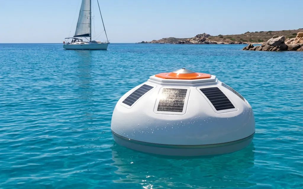
DIW is Seainnova’s floating weather station: it measures wind, waves, currents and temperature in real time, with updates every five minutes on the NaviGoo24 network. Reliable data for boaters, sailing schools, public bodies, Marine Protected Areas and research.

Wind, waves, currents and temperature in real time
Updates every five minutes on NaviGoo24
Dedicated dashboard for public bodies and MPAs
Certified reporting for regulatory compliance
Request a presentation →
Seainnova solar-powered marine monitoring buoy in turquoise waters, with a sailing boat and granite coastline in the background DIW — Floating weather station
03 — WiFi Buoy · Offshore connectivity

The digital world
reaches the sea.

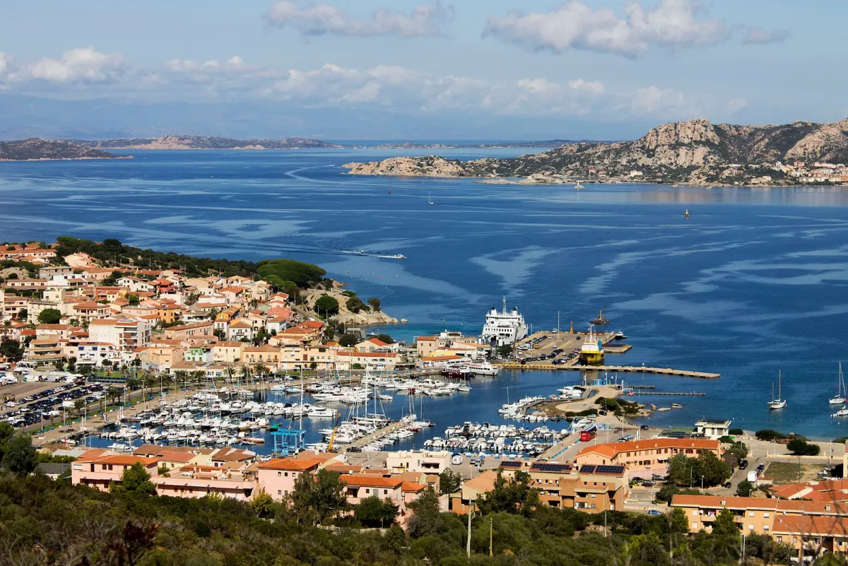
WiFi Buoy is the floating hotspot that extends internet connectivity up to 500 metres from the coast, with a self-configuring mesh network for seamless coverage in bays and anchorages. Digital mooring management and territorial data for local governance.

Coverage up to 500 metres from the coast
Self-configuring mesh network for bays and anchorages
Digital mooring management and bookings
Territorial data for public governance
Request a presentation →
Harbour and coastal village of Palau, Sardinia, overlooking the La Maddalena archipelago WiFi Buoy — Offshore connectivity
04 — Watch Buoys & Sentinel · Surveillance

Eyes on the sea,
day and night.

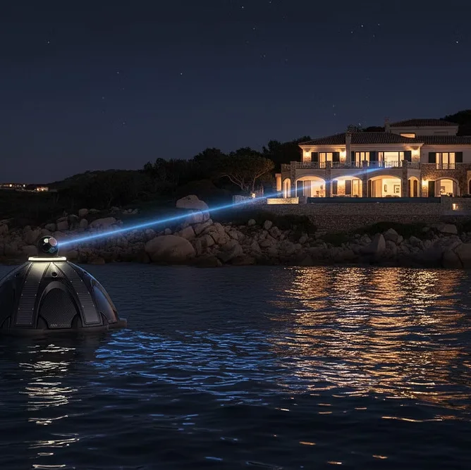
Watch Buoys is the compact camera for visual monitoring of private landings, jetties and coastal villas, with secure video streaming over the mesh network. Sentinel is the long-range autonomous long-range buoy with thermal vision and an AIS receiver: 10 nautical miles of coverage for coastline control by public bodies and port authorities.

Visual monitoring of landings, jetties and coastal properties
Secure video streaming over the mesh network
Long-range thermal vision and AIS receiver
10-nautical-mile coverage for public bodies and port authorities
Request a presentation →
Watch Buoy at night in front of an illuminated coastal villa: the buoy's camera watches over the private landing Watch Buoys — Coastal surveillance
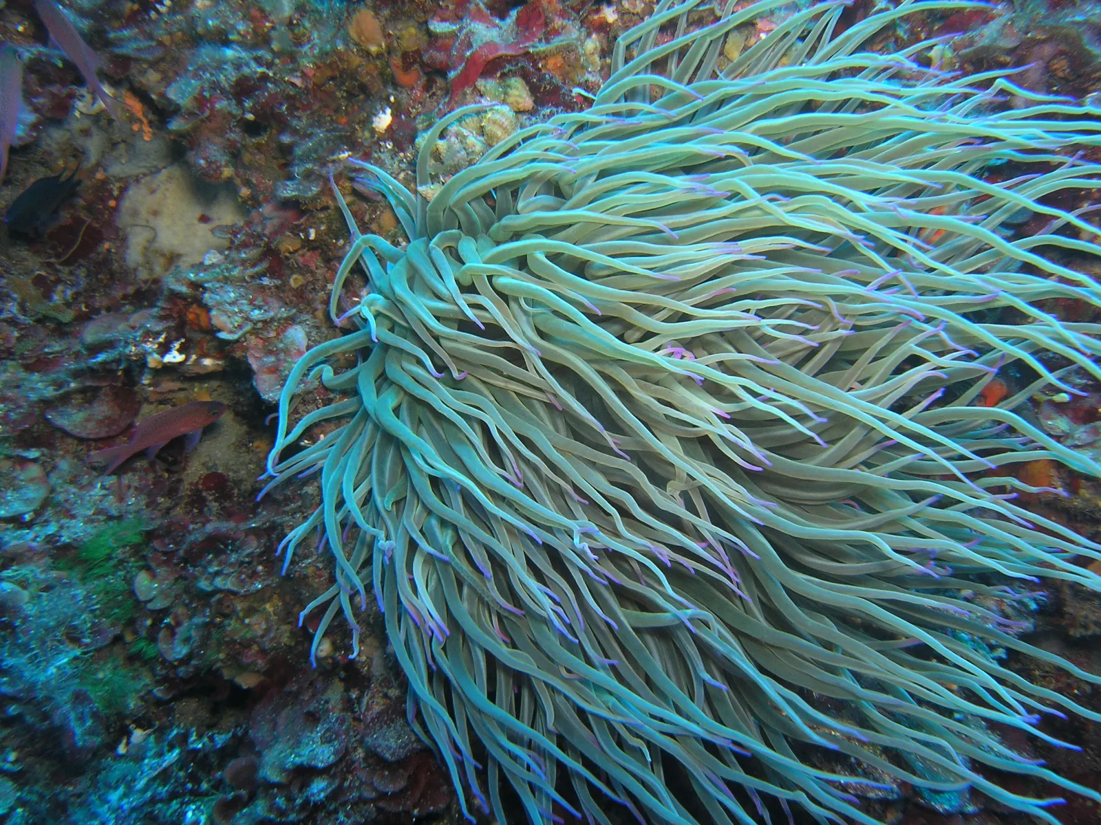
Underwater view of a Mediterranean sea anemone, background of the Nautical and Nature project
The green project

More than technology:
we create marine oases.

With “Nautical and Nature” we turn moorings into living habitats: from dead weights to living reefs, protecting Posidonia and Cystoseira across the Mediterranean.

Discover the Nautical and Nature project →

How it works

A system that thinks like a network, not like a product.

We don’t sell devices. We deliver digital services and data. Three integrated layers work together as a single digital organism, scaling from 2 to 50 buoys without changing anything in the architecture.

01 Smart buoys

The sensor nodes at sea: five families of specialised floating devices, fully energy-independent with photovoltaic panels and LiFePO4 batteries, multi-protocol communication, IP68 protection.

02 NAUTIX

The software heart of the system: the middleware that intercepts every heterogeneous protocol and translates it into a single language. The universal translator that makes interoperability and scalability possible.

03 NaviGoo24

The cloud network that connects the buoys, where data and services converge: a unified dashboard for boaters, public bodies and operators. The single point of access to the entire Seainnova ecosystem.

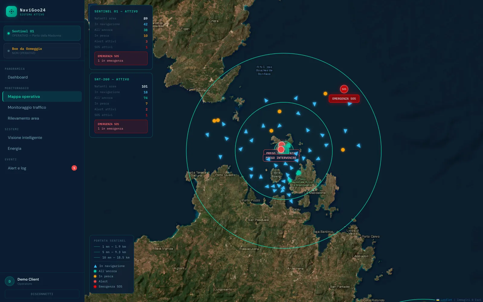
NaviGoo24 operations map: satellite view of the La Maddalena archipelago with vessels tracked in real time, Sentinel coverage radii and SOS alert management
NaviGoo24 — Operations map: vessels in real time, Sentinel coverage and SOS emergency management
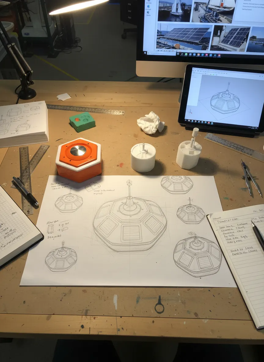
Seainnova R&D workbench: 3D-printed buoy prototypes, technical drawings and CAD models

About us

An innovative startup.
Sardinian roots,
Mediterranean vision.

Seainnova S.r.l. was born in La Maddalena, in the heart of the Sardinian archipelago. We design and manufacture intelligent marine infrastructure: solar-powered IoT systems, proprietary cloud networks and patented technologies for the digital management of the sea.

We work in synergy with public bodies, marinas and research centres to develop concrete solutions for the Blue Economy of the Mediterranean.

Innovative startup Patented technologies Solar powered Blue Economy

Sustainability

Technology that works
with the sea,
not against it.

Every component of the Seainnova system is designed to operate in harmony with marine and lake environments, in full respect of the Mediterranean’s protected ecosystems.

Boat anchors, ploughing the seabed, cause severe damage to precious ecosystems such as Posidonia oceanica meadows. That is why our moorings rest on “living reefs”: eco-compatible anchoring bodies designed to become true oases of underwater life. Where anchors once left scars, submerged gardens now grow.

Living reefs Posidonia protection Eco-compatible moorings
Discover the Nautical and Nature project →
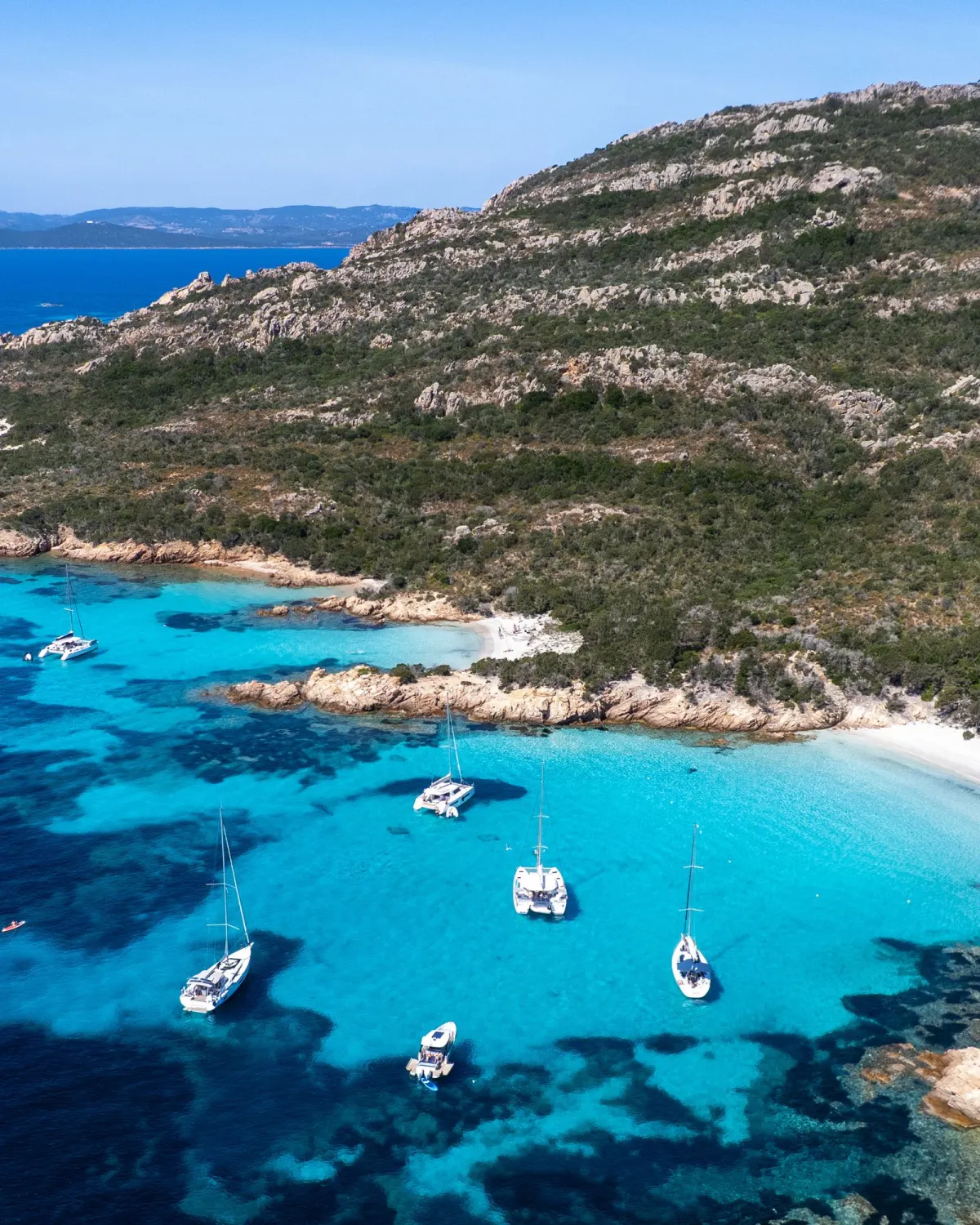
Granite Sardinian coastline with turquoise waters and sailing boats at anchor
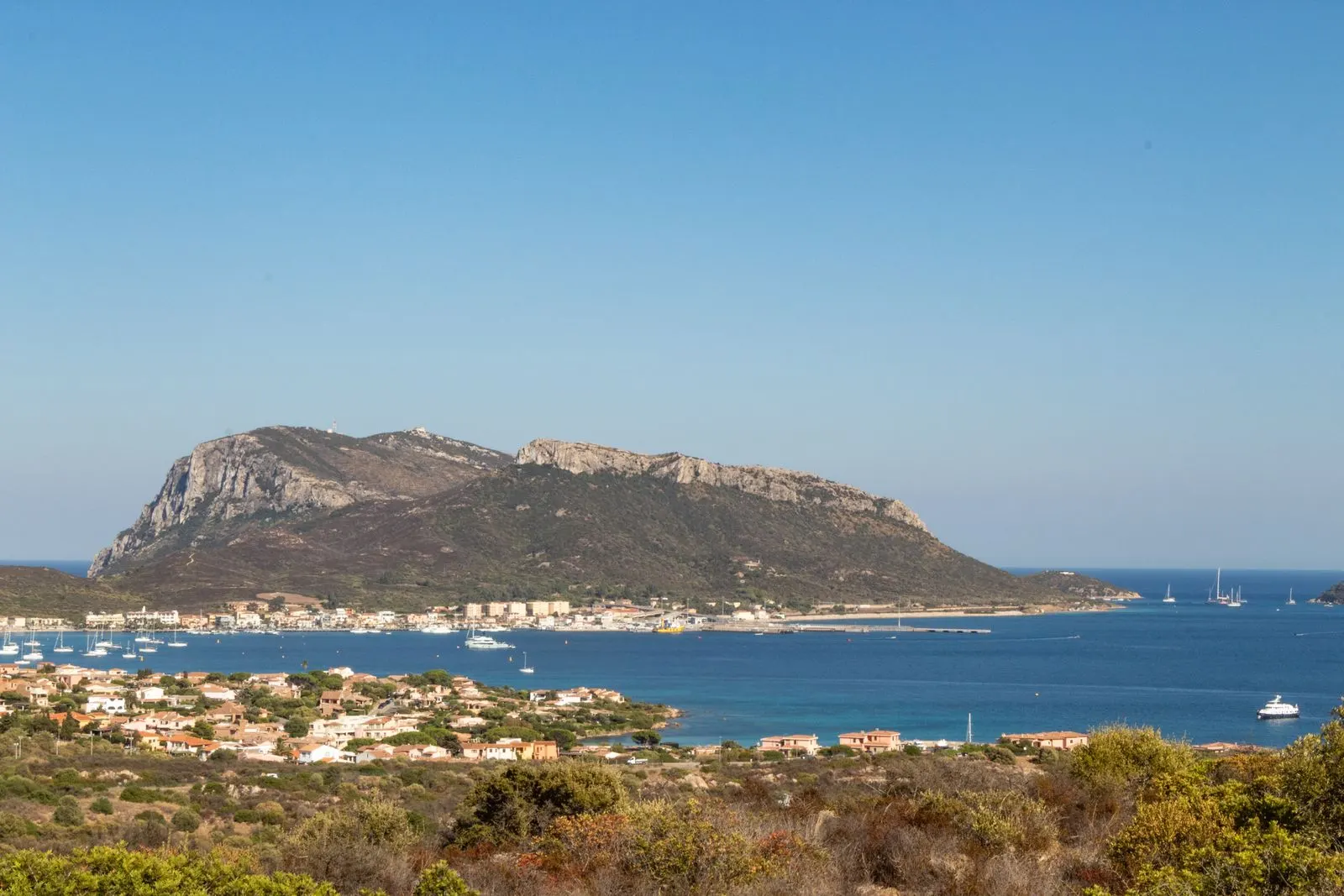
Gulf of Olbia with Capo Figari and Golfo Aranci, north-eastern Sardinia

In the near future

Seainnova Research
Centre — Olbia

In the near future we will build the first private facility in Sardinia dedicated to R&D and integrated marine IoT services. The project includes certified laboratories, a 24/7 operations centre and an exhibition space for partners and institutions.

600 m²Laboratories and operational spaces
24/7Call centre, 365 days a year
Wet labTesting in a simulated marine environment
1,500 m²Outdoor operations yard
Olbia, north-east Sardinia — direct access to port and airport

The course ahead

From Sardinia to the Mediterranean.

Our proving ground is the north-eastern coast of Sardinia: the first network of interconnected smart buoys along a stretch of Italian coastline, a model natively replicable on any body of water in Europe.

2026 Pilot phase

First buoys operating in the water during the summer season, from spring to autumn. Field validation of the technology and services.

2027 Expansion

Up to 30 buoys along the Sardinian coast: every new landing becomes a node of the network.

2028 Olbia Research Centre

Opening of the facility: 600 m² of laboratories, wet lab, telemetry room and a 24/7 call centre serving the network.

In the waterBuoy tested and operational
673Marinas mapped
29Countries covered by the mapping
54Port authorities involved

Institutional partnerships

Building the Blue Economy.
Together.

We work with public bodies, regions, marine protected areas and research institutes to develop data-driven coastal governance and digital infrastructure serving local communities.

RegionsBlue Economy & coastal development
Research institutesR&D and funded projects
UniversitiesResearch and technology validation
Marine parks & MPAsCoastal monitoring and governance

Contact

Let’s talk about
your project.

We work with public bodies, marinas, research centres and investors. Tell us about your context and we will arrange a dedicated presentation.

Contact personLuca Rovere — Founder
Registered officeVia Amendola 32
07024 La Maddalena (SS), Italy
Research CentreOlbia, north-east Sardinia (planned)